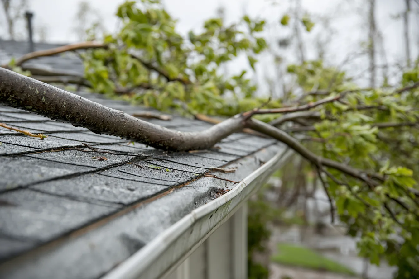
A date helps frame the conversation
If roofing changed after a known storm, tell us what you noticed and when. Roof condition, property history and reliable event evidence help establish what happened.
Practical storm history help for Piedmont property owners.
Free inspections with a roof walk when conditions allow.
This selection shows official 2019 to 2026 hail, thunderstorm-wind and winter-storm reports associated with Piedmont. Hail and wind begin points inside the current municipal boundary are distinguished from wider forecast-zone context.
The 2026 NOAA detail file available for this research runs through July 31 and remains subject to revision. Reports are weather evidence, not proof that any roof was damaged. A current-boundary point comparison is not a storm track or a historical city-limit determination.
Open a year to read the selected records and their geographic limits. Counts come from this displayed collection.
| Date | Report | Geographic scope | Source |
|---|---|---|---|
| Thunderstorm Wind61 knots estimated gust | Reported begin point inside current Piedmont boundaryA current municipality point comparison is not a storm track, historical boundary or property-damage finding. | NOAA annual detail recordSix power poles were blown down near the intersection of Sara Road and County Line Road. The event time is estimated based on radar observations. | |
| Winter Stormnull null null | Forecast-zone context: OKLAHOMAForecast-zone context based onApril2026zones. Zone is not county or city; historical names/boundaries can differ and a warning/report is not damage at a property. | NOAA annual detail recordThe county received a combination of snow and sleet during this event, producing 4 to 11 inches of accumulation. The highest observed total (10.3 inches) was reported southeast of Piedmont. Listed amounts reflect a synthesis of both remote sensing and direct observations. | |
| Winter Stormnull null null | Forecast-zone context: KINGFISHERForecast-zone context based onApril2026zones. Zone is not county or city; historical names/boundaries can differ and a warning/report is not damage at a property. | NOAA annual detail recordThe county received a combination of mainly snow and some sleet during this event, producing 6 to 9 inches of accumulation. The highest observed total (9 inches) was reported near Kingfisher. Listed amounts reflect a synthesis of both remote sensing and direct observations. |
| Date | Report | Geographic scope | Source |
|---|---|---|---|
| Hail1.75 inches reported hail diameter | Reported begin point inside current Piedmont boundaryA current municipality point comparison is not a storm track, historical boundary or property-damage finding. | NOAA annual detail recordRelayed images showing quarter to golf ball size hail. Time is radar estimated. |
| Date | Report | Geographic scope | Source |
|---|---|---|---|
| Hail1 inches reported hail diameter | Reported begin point inside current Piedmont boundaryA current municipality point comparison is not a storm track, historical boundary or property-damage finding. | NOAA annual detail recordNo narrative supplied in this selected record. |
| Date | Report | Geographic scope | Source |
|---|---|---|---|
| Hail2.5 inches reported hail diameter | Reported begin point inside current Piedmont boundaryA current municipality point comparison is not a storm track, historical boundary or property-damage finding. | NOAA annual detail recordNo narrative supplied in this selected record. | |
| Hail2.5 inches reported hail diameter | Reported begin point inside current Piedmont boundaryA current municipality point comparison is not a storm track, historical boundary or property-damage finding. | NOAA annual detail recordCar damage and broken windows from hail. Time estimated from radar. |
Selected records from NOAA Storm Events annual detail files, checked October 27, 2026. This is not a complete list of every storm that occurred.
If roofing changed after a known storm, tell us what you noticed and when. Roof condition, property history and reliable event evidence help establish what happened.
A nearby hail or wind report cannot diagnose shingles, flashings or roof layers. An inspection examines the actual building and whether repair can connect to sound roofing.
Storm roof helpWeather evidence and roof findings support the physical account. Deductibles, exclusions and settlement terms come from the insurance policy and insurer.
Roof insurance guideNo. It records one reported location. The storm could affect a different area, and a current city-boundary comparison does not reconstruct its path.
The weather report is regional event evidence. The actual property condition and history have to be assessed separately; a reported point does not establish damage at another address.
No. The available NOAA annual detail file used here ends July 31, 2026. Reports can lag and be revised.